Elements area
Identifier
F223-S3-f1-C-A3
Title
[Map of Green River]
Creator
Neal Carter (1902-1978)
Date(s)
Description
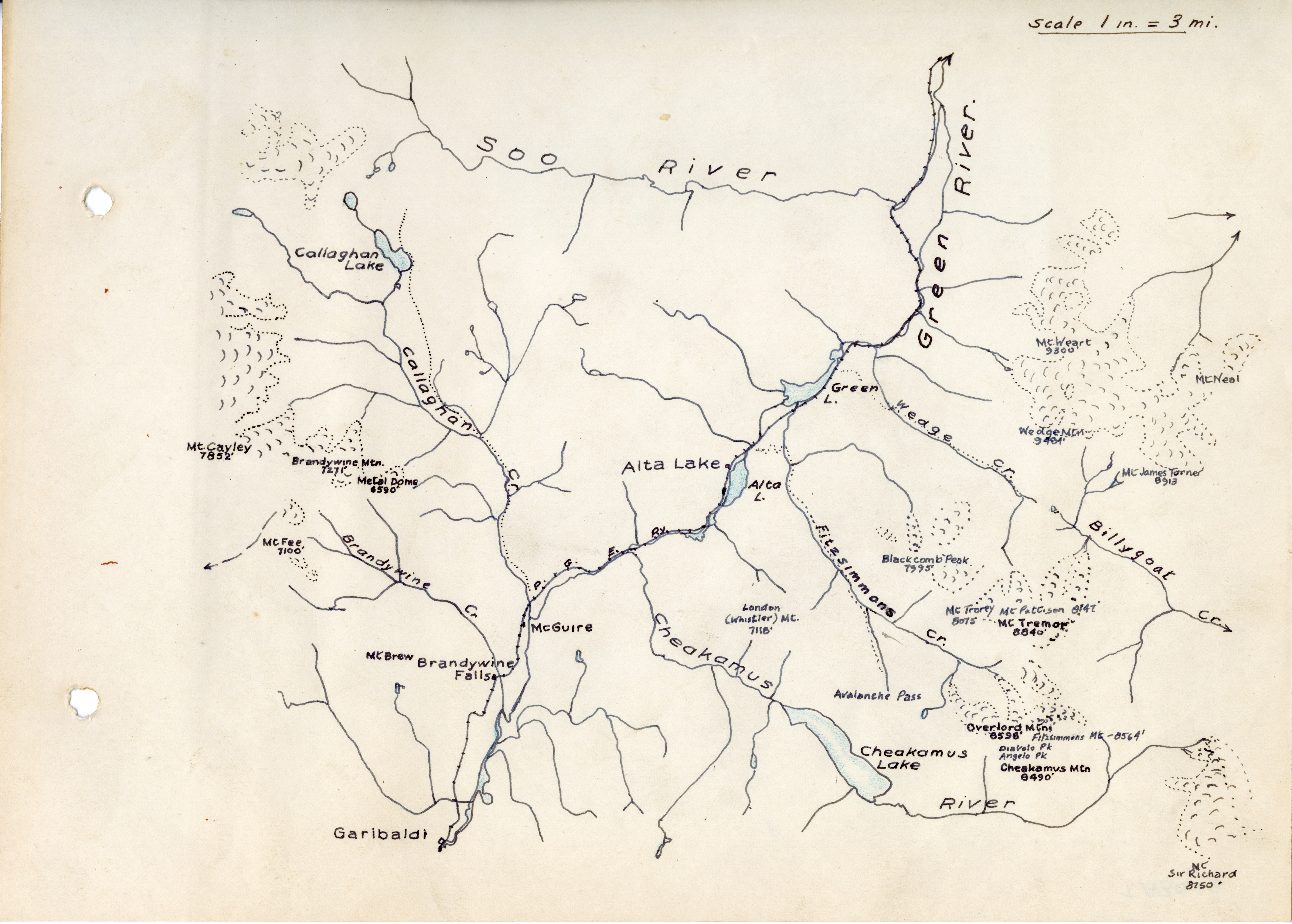
The first European settlers to explore the Garibaldi area had no maps. Doing their own surveys and making their own maps formed part of their expeditions.
This beautiful hand-drawn map of the Green River area near Whistler, made by Neal Carter, would have been one of the first to be made. The map is part of a photo album he made showing peaks of the area.
Subjects
Types
- image
Format
Source
Fonds 223 - Alpine Club of Canada - Vancouver Section