Elements area
Identifier
F223-S3-f1-RR1
Title
[Map of Pitt Lake Area]
Creator
Neal Carter (1902-1978)
Date(s)
Description
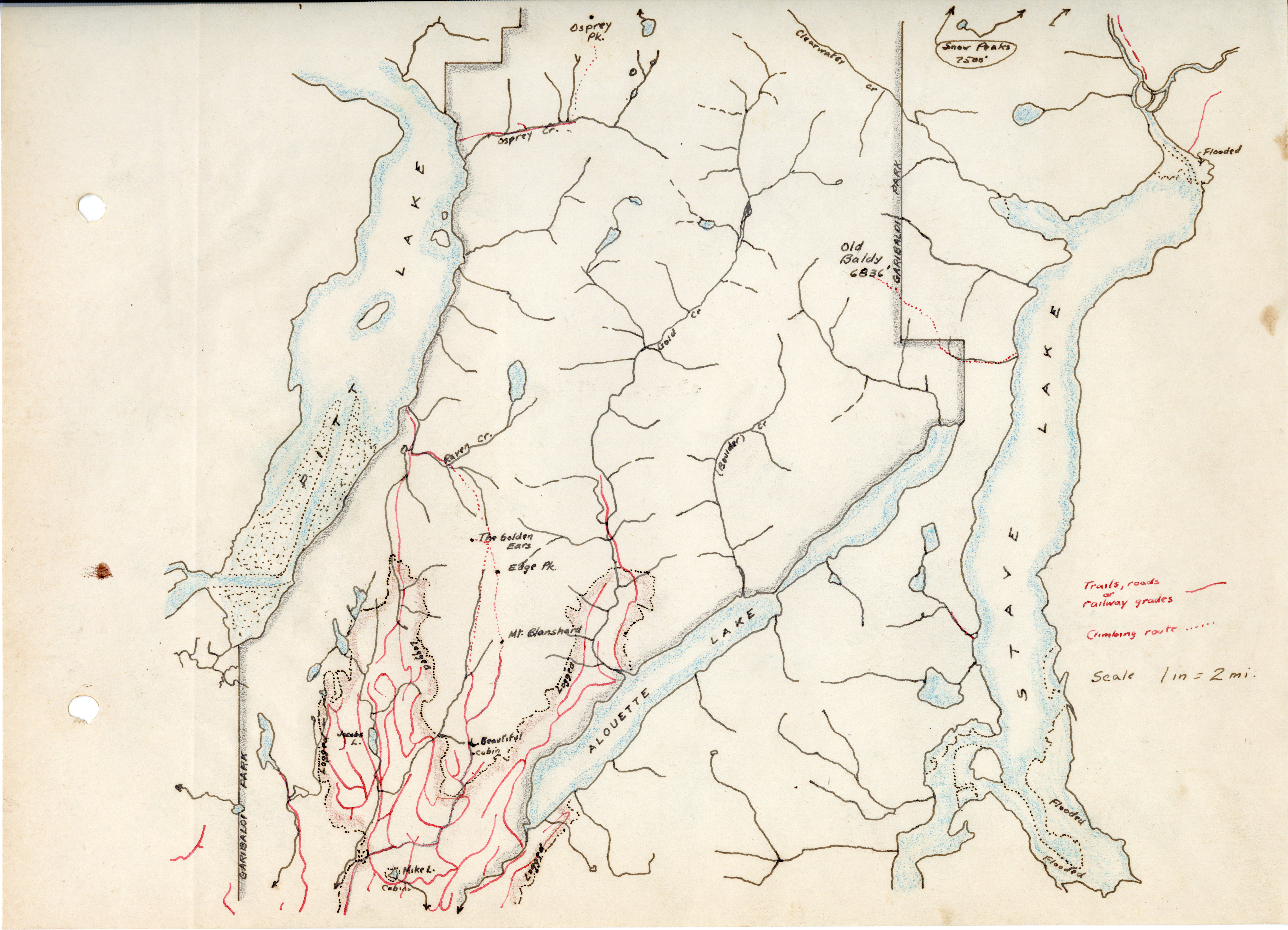
The first European settlers who explored the mountains around Vancouver and beyond had no maps. Doing their own surveys and making their own maps formed part of their expeditions.
This beautiful hand-drawn map of the area round Pitt Lake, Alouette Lake and Stave Lake made by Neal Carter would have been one of the first to be made, if not the first. The map is part of a photo album he made showing peaks of the area.
Subjects
Types
- image
Format
Source
Fonds 223 - Alpine Club of Canada - Vancouver Section