F205-S12(12-6)-i2
·
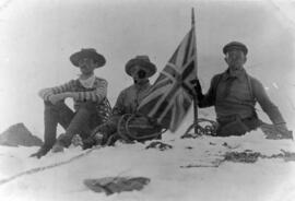
1911
Part of No Place Too Far
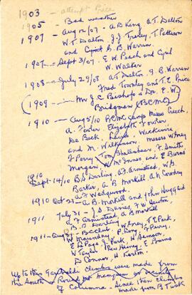
Sometimes, the handwritten and scribbled notes of yesteryear are very intriguing. This list appears to be the BC Mountaineering Club members' attempts on Mount Garibaldi in the years of their exploration, though there is not enough information to confirm this.
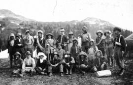
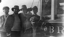
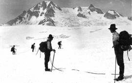
British Columbia Mountaineering Club
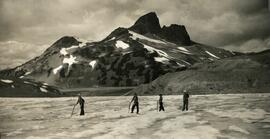
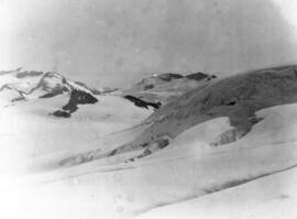
![[Bill Dobson and Jack Sutherland on Garibaldi Lake, Easter week 1928.]](/uploads/r/passion-for-adventure/b/0/0/b00721daa5ce2767407294e77e8206c3642491e9d7124a67f74ba464fcafe4cf/F205-8.009_142.jpg)
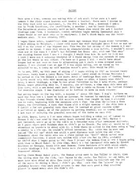
![[Excerpt from Dick Chambers April 1997 Interview]](/uploads/r/passion-for-adventure/b/d/6/bd6b59d96ab426d7bfad4e8a2d6406d740938c231376f7eb403ddac7ad471384/F205-S22-DC.jpg)
![[Map of Mt. Garibaldi]](/uploads/r/passion-for-adventure/9/a/c/9ac43ec576b2804e2959462a1e7edec1dc1204eaf0b33b8e40ae10556360528c/F223-S3-f1-C-A2_142.jpg)
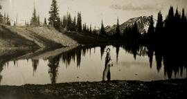
!["Me [Nellie Chapman] at Garibaldi, B.C. in the B.C. Mountaineering Club. Grouse Mtn. Club. 1910"](/uploads/r/passion-for-adventure/4/7/6/4766bbdf7da03c73362ea109ebbf3e2cad279496fdafc9753c74c5dd710c6c5a/F205-64-037_142.jpg)
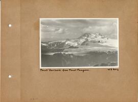
![[Tracing of "Mount Garibaldi from Mount Mamquam"]](/uploads/r/passion-for-adventure/8/4/0/840deb8b53722309155fe8d589dcbd0252ec6186957bac3d1ffbca108cd57d2f/F223-S3-f1-C-A13_142.jpg)